![Vessel Helix Pipe [Copper] - Headshop.com](http://www.headshop.com/cdn/shop/files/ad3c0443-b76d-4fe5-84b8-a617dd50a950.jpg?v=1747419387&width=900)
![Vessel Helix Pipe [Copper] - Headshop.com](http://www.headshop.com/cdn/shop/files/7b0e06e3-9106-4684-80e4-408362c34085.jpg?v=1747419388&width=1000)
![Vessel Compass Rise [Obsidian] - Headshop.com](http://www.headshop.com/cdn/shop/files/631009c0-e68c-4238-9a63-73f14dd1117f.jpg?v=1717545548&width=900)
![Vessel Compass Rise [Obsidian] - Headshop.com](http://www.headshop.com/cdn/shop/files/a12c8ff4-4bee-4dc9-b697-542f6130e46e.jpg?v=1717609092&width=1000)


![Vessel Drift Case [Olive] - Headshop.com](http://www.headshop.com/cdn/shop/files/bcf30faf-8c6e-478d-a317-2a580dba197e.jpg?v=1768365177&width=900)
![Vessel Drift Case [Olive] - Headshop.com](http://www.headshop.com/cdn/shop/files/b91ca13e-53ae-40ff-963a-43ba10195212.jpg?v=1768365178&width=1000)


Love to Vape? We Got You...
Top Trending Products
View all![Vessel Pipe [Emerald] - Headshop.com](http://www.headshop.com/cdn/shop/files/231c9f1f-11ba-4db3-aa3d-29b786d02e7f.jpg?v=1744745505&width=900)
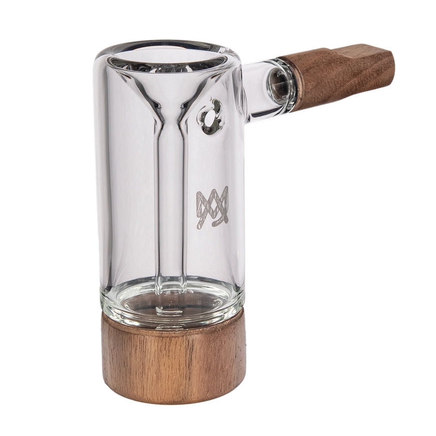
![Vessel Element Hand Bubbler [Black] - Headshop.com](http://www.headshop.com/cdn/shop/files/Element-Product-Listing-Images2.jpg?v=1744306952&width=900)
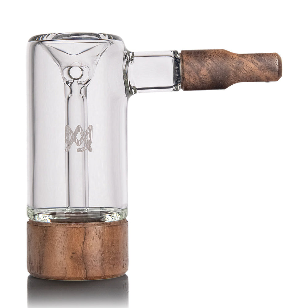
![Vessel Element Hand Bubbler [Black] - Headshop.com](http://www.headshop.com/cdn/shop/files/Element-Product-Listing-Images.jpg?v=1744306952&width=1000)

Types of Dab Rigs
Vessel Pipe

Vessel Pipe

Vessel Pipe

#420 Blog Topics

The #1 Most Trusted Online Headshop & Smoke Shop
Based in SoCal, we ship the headiest products around the world. Created and curated by smokers, for smokers, Headshop.com is the #1 choice for the best online headshop and online smoke shop. Our mission at Headshop.com is to deliver to your door the latest and greatest in: dab rigs, pipes, bongs, vaporizers, rolling papers, popular smoking accessories, and more. Thousands of loyal customers enjoy Headshop.com’s fast, discreet shipping of amazing smoke shop products at competitive prices. Make sure to sign up for our mailing list to get deep discounts on your favorite Headshop.com and to find out about our fire sales. More good word– Headshop.com has been featured in Los Angeles Magazine, Weedmaps and Leafly as a bonafide one-stop shop for all your smoking needs. Read moreLet customers speak for us

Delivered on time and love the Alien Head THC beverage!!

This item is fantastic and it takes me where I want to go!!!
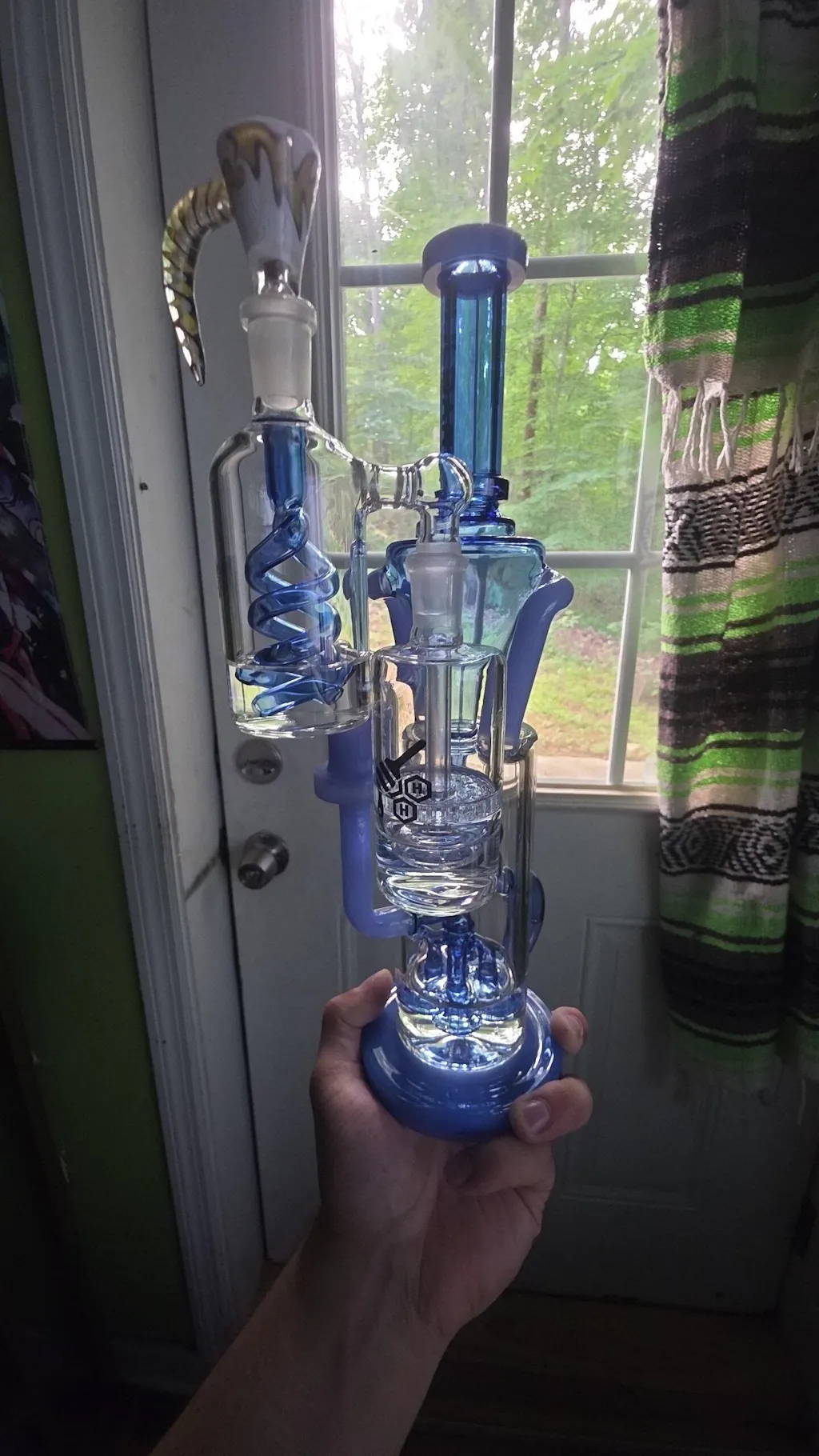
One of the best glass pieces I've ever got. I love the water vortex chamber and the 4 percelators a lot! Uses a lot more water than I thought but once I figured it out, made the piece amazing haha. Nice feel to it.

On time and exactly what I ordered

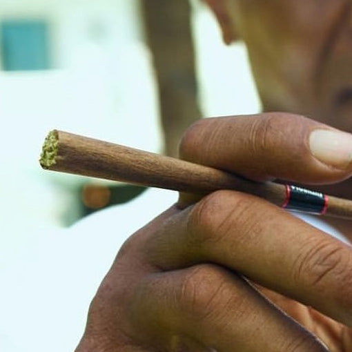
perfect travel size, grinds product nicely. 10/10

Quality glass, fast shipping.

Easy to clean Easy to hit Easy to look at I love it! Wish I had bought one sooner! Beautiful glass work! Love the purple glass!
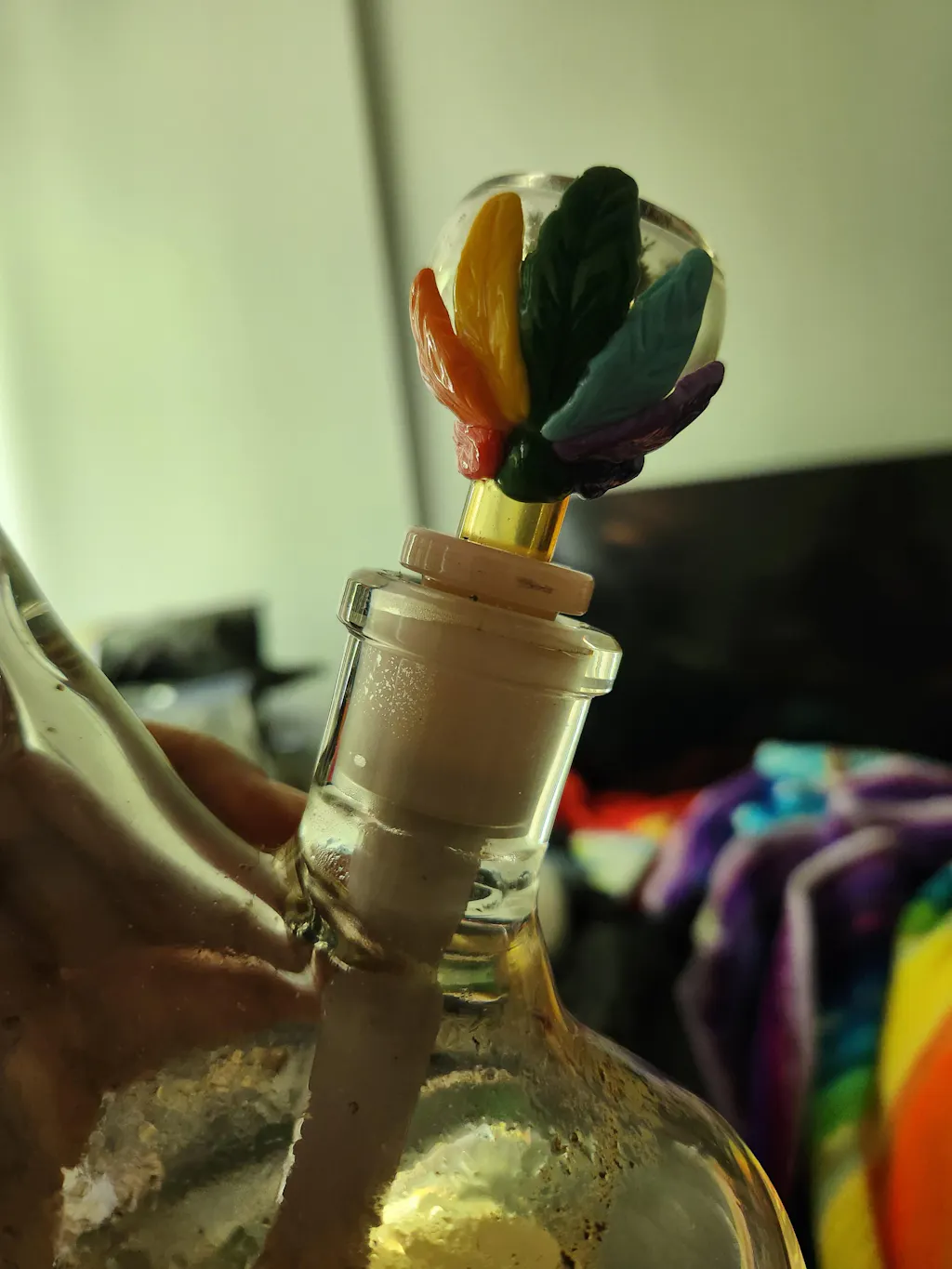
I am a smoking glass collector. Love me a good bubble 14mm bowl. It had a good seal in the downstem. Pulled very smooth. I like it. Recommend. My childhood was in the 1970s when everything was rainbow 🌈! LOVE the rainbow leaf on the side. I will say you used the prettiest ones for the ad photo.

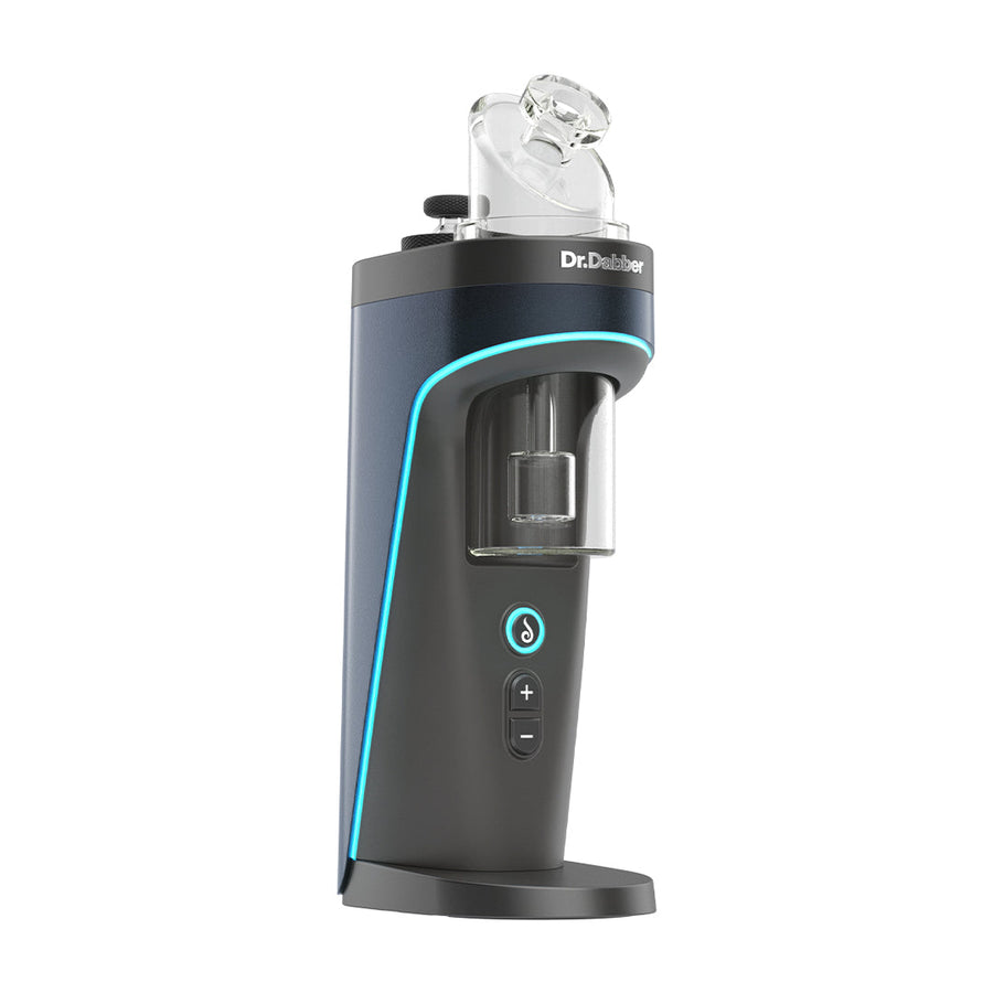
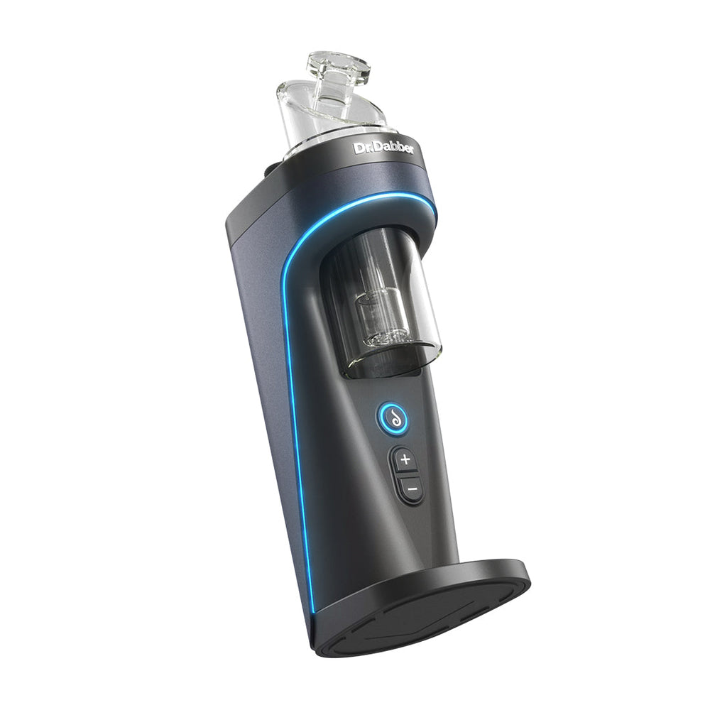
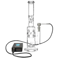
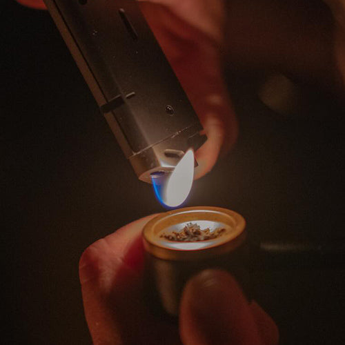
Dr Dabber XS e-Rig Portable Vaporizer

Great shop to browse through, fast shipping

It works great

Nice bong, how to clean salt rubbing alcohol. Great bong just the perfect size Purple looks reall good. Would buy again.
Great product. Fast shipping.

nice decorative piece to have on hand and will get you way lit!
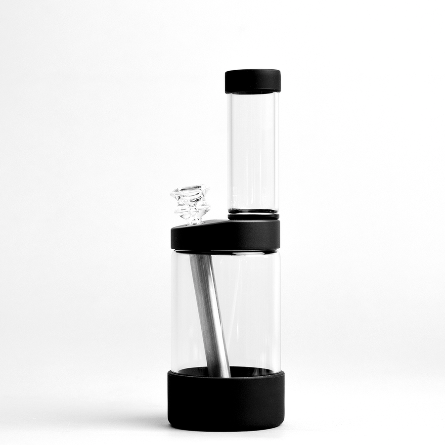
NWTN Home Vesper Bubbler